
Upis El Huarango topographic map
Interactive map
Click on the map to display elevation.
About this map
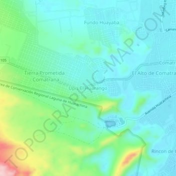
Name: Upis El Huarango topographic map, elevation, terrain.
Location: Upis El Huarango, Ica, Provincia de Ica, Ica, +56, Perú (-14.09975 -75.78933 -14.05975 -75.74933)
Average elevation: 447 m
Minimum elevation: 394 m
Maximum elevation: 625 m