
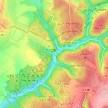
Metschbruck topographic map
Interactive map
Click on the map to display elevation.
About this map
Name: Metschbruck topographic map, elevation, terrain.
Average elevation: 305 m
Minimum elevation: 236 m
Maximum elevation: 373 m
Other topographic maps
Click on a map to view its topography, its elevation and its terrain.
An der Strasse
France > Grand Est > Moselle > Montbronn
An der Strasse, Oben an der Strasse, Montbronn, Sarreguemines, Moselle, Grand Est, France métropolitaine, 57415, France
Average elevation: 333 m