
Óbidos topographic map
Interactive map
Click on the map to display elevation.
About this map
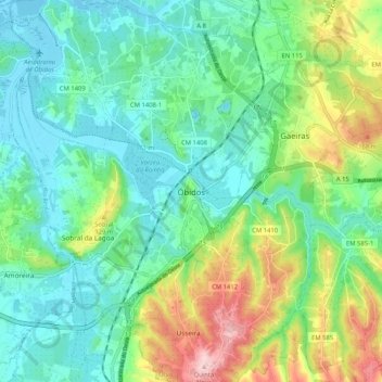
Name: Óbidos topographic map, elevation, terrain.
Location: Óbidos, Leiria, Oeste, Centro, 2510-106, Portugal (39.32195 -9.19715 39.40195 -9.11715)
Average elevation: 63 m
Minimum elevation: -4 m
Maximum elevation: 219 m