
Namasagali topographic map
Interactive map
Click on the map to display elevation.
About this map
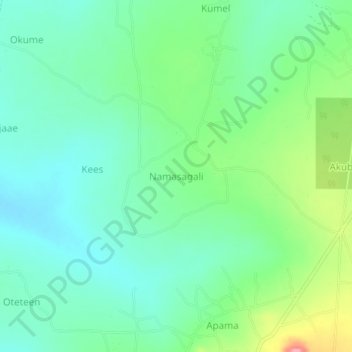
Name: Namasagali topographic map, elevation, terrain.
Location: Namasagali, Ngora, Eastern Region, Uganda (1.49777 33.78037 1.53777 33.82037)
Average elevation: 1,097 m
Minimum elevation: 1,065 m
Maximum elevation: 1,177 m