
Webenheim topographic map
Interactive map
Click on the map to display elevation.
About this map
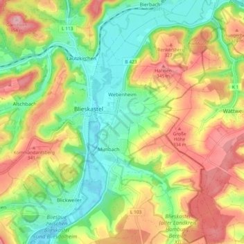
Name: Webenheim topographic map, elevation, terrain.
Location: Webenheim, Blieskastel, Saarpfalz-Kreis, Saarland, Germany (49.20361 7.26215 49.26404 7.31209)
Average elevation: 276 m
Minimum elevation: 208 m
Maximum elevation: 360 m