
Thank you for supporting this site ❤️
Make a donation
Make a donation
Gear up for your next adventure:
As an Amazon Associate, this site earns from qualifying purchases at no extra cost to you.
Demerthin topographic map
Click on the map to display elevation.
Thank you for supporting this site ❤️
Make a donation
Make a donation
Gear up for your next adventure:
As an Amazon Associate, this site earns from qualifying purchases at no extra cost to you.
About this map
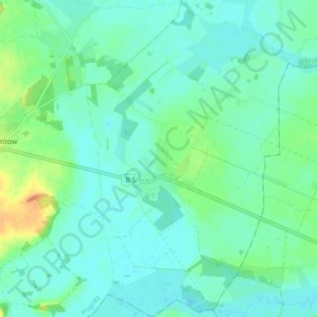
Name: Demerthin topographic map, elevation, terrain.
Location: Demerthin, Gumtow, Prignitz, Brandenburg, Germany (52.95236 12.27371 53.00074 12.32510)
Average elevation: 51 m
Minimum elevation: 41 m
Maximum elevation: 81 m
Thank you for supporting this site ❤️
Make a donation
Make a donation
Gear up for your next adventure:
As an Amazon Associate, this site earns from qualifying purchases at no extra cost to you.