
أزرق topographic map
Interactive map
Click on the map to display elevation.
About this map
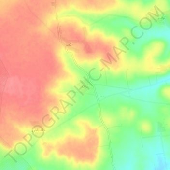
Name: أزرق topographic map, elevation, terrain.
Location: أزرق, منطقة الباب, حلب, Syrië (36.34959 37.42114 36.38959 37.46114)
Average elevation: 528 m
Minimum elevation: 484 m
Maximum elevation: 558 m