
Étang Chapron - Étangs de Commelles topographic map
Interactive map
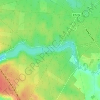
Click on the map to display elevation.
About this map
Name: Étang Chapron - Étangs de Commelles topographic map, elevation, terrain.
Average elevation: 62 m
Minimum elevation: 38 m
Maximum elevation: 89 m
Other topographic maps
Click on a map to view its topography, its elevation and its terrain.
Étangs de Commelles
France > Hauts-de-France > Orry-la-Ville
Étangs de Commelles, Sentier Botanique des Étangs de Commelles, Orry-la-Ville, Senlis, Oise, Hauts-de-France, France métropolitaine, 60560, France
Average elevation: 61 m