
Orange Springs topographic map
Interactive map
Click on the map to display elevation.
About this map
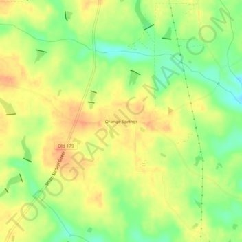
Name: Orange Springs topographic map, elevation, terrain.
Location: Orange Springs, Grady County, Georgia, 31797, USA (30.81214 -84.33018 30.85214 -84.29018)
Average elevation: 78 m
Minimum elevation: 53 m
Maximum elevation: 97 m