
Edison topographic map
Interactive map
Click on the map to display elevation.
About this map
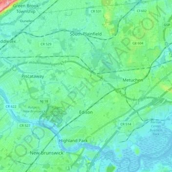
Name: Edison topographic map, elevation, terrain.
Location: Edison, Middlesex County, New Jersey, VS (40.47080 -74.44000 40.60550 -74.31605)
Average elevation: 24 m
Minimum elevation: -3 m
Maximum elevation: 111 m