
Aldeia do Mato topographic map
Interactive map
Click on the map to display elevation.
About this map
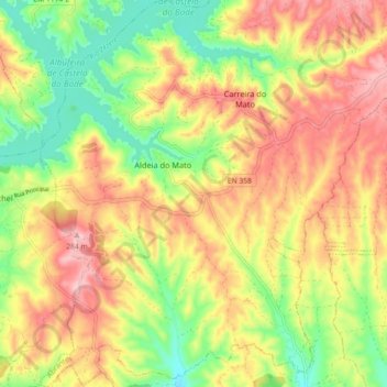
Name: Aldeia do Mato topographic map, elevation, terrain.
Location: Aldeia do Mato, Abrantes, Santarém, Portugal (39.50296 -8.30164 39.57278 -8.22993)
Average elevation: 185 m
Minimum elevation: 90 m
Maximum elevation: 279 m
Other topographic maps
Click on a map to view its topography, its elevation and its terrain.