
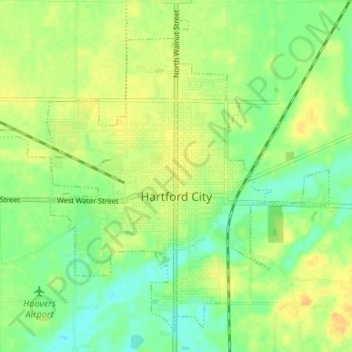
Hartford City topographic map
Interactive map
Click on the map to display elevation.
About this map
Name: Hartford City topographic map, elevation, terrain.
Location: Hartford City, Blackford County, Indiana, 47348, USA (40.43172 -85.40754 40.47640 -85.34119)
Average elevation: 276 m
Minimum elevation: 262 m
Maximum elevation: 290 m