
由良町 topographic map
Interactive map
Click on the map to display elevation.
About this map
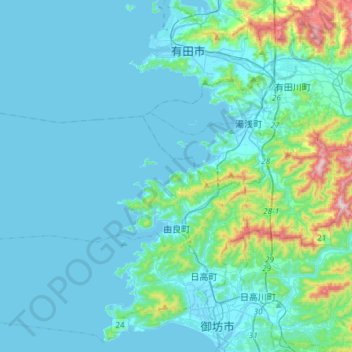
Name: 由良町 topographic map, elevation, terrain.
Location: 由良町, 日高郡, Prefectura de Wakayama, Japón (33.94437 134.88042 34.04617 135.17607)
Average elevation: 73 m
Minimum elevation: -1 m
Maximum elevation: 629 m