
South Grafton topographic map
Interactive map
Click on the map to display elevation.
About this map
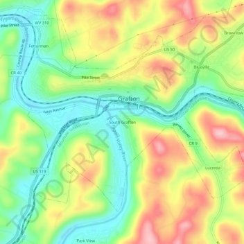
Name: South Grafton topographic map, elevation, terrain.
Location: South Grafton, Taylor County, West Virginia, 26354, USA (39.31704 -80.04036 39.35704 -80.00036)
Average elevation: 370 m
Minimum elevation: 289 m
Maximum elevation: 476 m