
dessert topographic map
Interactive map
Click on the map to display elevation.
About this map
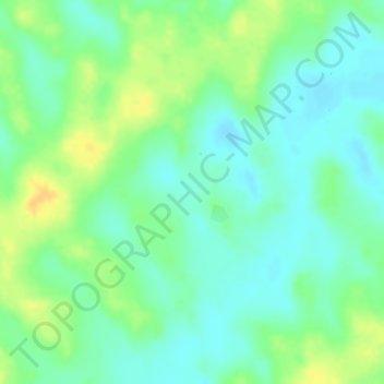
Name: dessert topographic map, elevation, terrain.
Location: dessert, Damagaram Takaya, Mirriah, Zinder, Niger (14.19697 9.41887 14.19707 9.41897)
Average elevation: 471 m
Minimum elevation: 458 m
Maximum elevation: 487 m