
San Agustin topographic map
Interactive map
Click on the map to display elevation.
About this map
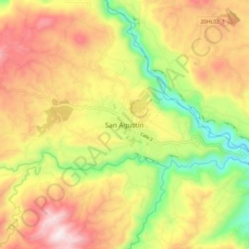
Name: San Agustin topographic map, elevation, terrain.
Location: San Agustin, San Agustín, Sur, Huila, 418060, Colômbia (1.84208 -76.31290 1.92208 -76.23290)
Average elevation: 1,687 m
Minimum elevation: 1,274 m
Maximum elevation: 2,084 m