
La Laguna topographic map
Interactive map
Click on the map to display elevation.
About this map
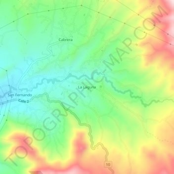
Name: La Laguna topographic map, elevation, terrain.
Location: La Laguna, Pasto, Centro, Nariño, 520009, Colômbia (1.18416 -77.22965 1.22416 -77.18965)
Average elevation: 2,862 m
Minimum elevation: 2,703 m
Maximum elevation: 3,105 m