
Kildorrery topographic map
Interactive map
Click on the map to display elevation.
About this map
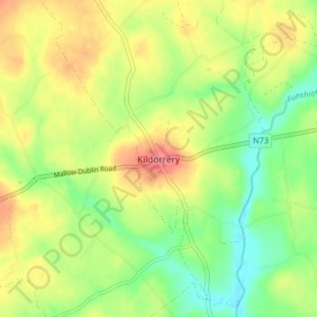
Name: Kildorrery topographic map, elevation, terrain.
Location: Kildorrery, County Cork, Munster, P67AV27, Ireland (52.22617 -8.44711 52.26617 -8.40711)
Average elevation: 82 m
Minimum elevation: 50 m
Maximum elevation: 118 m