
Knox topographic map
Interactive map
Click on the map to display elevation.
About this map
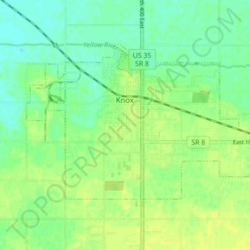
Name: Knox topographic map, elevation, terrain.
Location: Knox, Starke County, Indiana, United States (41.27612 -86.64952 41.30633 -86.58748)
Average elevation: 216 m
Minimum elevation: 207 m
Maximum elevation: 224 m