
Castelflorite topographic map
Interactive map
Click on the map to display elevation.
About this map
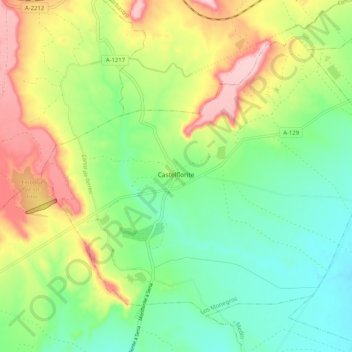
Name: Castelflorite topographic map, elevation, terrain.
Location: Castelflorite, Los Monegros, Huesca, Aragon, Espagne (41.77249 -0.06073 41.83330 0.04176)
Average elevation: 322 m
Minimum elevation: 239 m
Maximum elevation: 459 m