
La Yunta topographic map
Interactive map
Click on the map to display elevation.
About this map
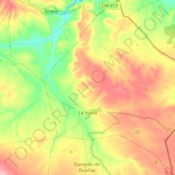
Name: La Yunta topographic map, elevation, terrain.
Location: La Yunta, Guadalajara, Castile-La Mancha, Spain (40.87940 -1.71721 40.97856 -1.60790)
Average elevation: 1,115 m
Minimum elevation: 1,036 m
Maximum elevation: 1,197 m