
Egan topographic map
Interactive map
Click on the map to display elevation.
About this map
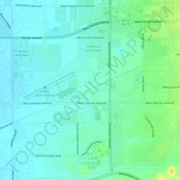
Name: Egan topographic map, elevation, terrain.
Location: Egan, Riverside County, California, 92543, USA (33.71224 -117.03197 33.75224 -116.99197)
Average elevation: 466 m
Minimum elevation: 458 m
Maximum elevation: 490 m