
Ramanagaram topographic map
Interactive map
Click on the map to display elevation.
About this map
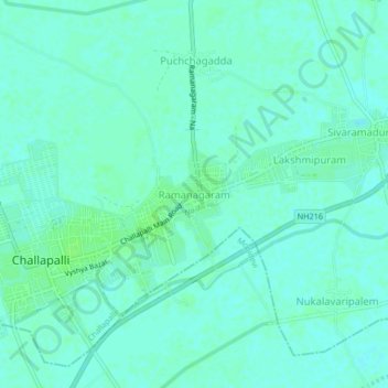
Name: Ramanagaram topographic map, elevation, terrain.
Average elevation: 8 m
Minimum elevation: 4 m
Maximum elevation: 12 m
Other topographic maps
Click on a map to view its topography, its elevation and its terrain.
Challapalli
India > Andhra Pradesh > Challapalle
Challapalli, Challapalle, Krishna District, Andhra Pradesh, 521126, India
Average elevation: 8 m