
Old Romney topographic map
Interactive map
Click on the map to display elevation.
About this map
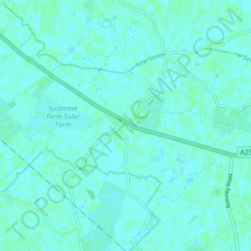
Name: Old Romney topographic map, elevation, terrain.
Location: Old Romney, Kent, South East, England, TN29 9SQ, United Kingdom (50.96964 0.87486 51.00964 0.91486)
Average elevation: 2 m
Minimum elevation: -1 m
Maximum elevation: 5 m