
Panton topographic map
Interactive map
Click on the map to display elevation.
About this map
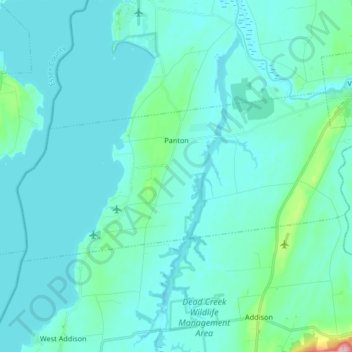
Name: Panton topographic map, elevation, terrain.
Location: Panton, Addison County, Vermont, USA (44.10784 -73.41578 44.16526 -73.24998)
Average elevation: 42 m
Minimum elevation: 24 m
Maximum elevation: 203 m