Geolocate

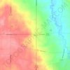
Seville topographic map

Click on the map to display elevation.

About this map
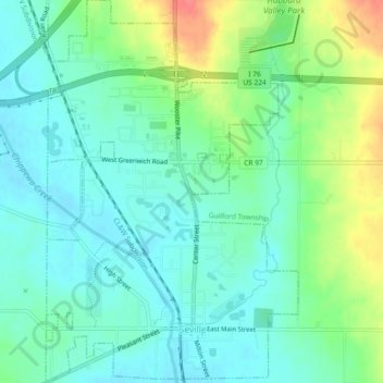
Name: Seville topographic map, elevation, terrain.

Location: Seville, Medina County, Ohio, United States (41.00064 -81.88744 41.03993 -81.84950)

Average elevation: 317 m

Minimum elevation: 296 m

Maximum elevation: 363 m

Other topographic maps

Click on a map to view its topography, its elevation and its terrain.
Abbeyville

United States > Ohio > Medina County

Average elevation: 278 m

Hinckley

United States > Ohio > Medina County

Average elevation: 330 m

Litchfield

United States > Ohio > Medina County

Average elevation: 306 m

River Corners

United States > Ohio > Medina County

Average elevation: 268 m

Valley City

United States > Ohio > Medina County

Average elevation: 262 m

Austin Badger Park

United States > Ohio > Medina County

Average elevation: 307 m

Valley City

United States > Ohio > Medina County

Average elevation: 262 m

Valley City

United States > Ohio > Medina County

Average elevation: 262 m

Gear up for your next adventure:

🎒Daypacks - Compact backpacks for short hikes
🧯Animal Deterrent Spray - Safety spray for wildlife
📸Action Cameras - Record your journey across interesting topographic features in 4K
🧺Waterproof Dry Sacks - Organize your pack and keep electronics safe from rain and river crossings
🔌Fast Charging Adapters - Quickly top up all your gear before heading back into the field

As an Amazon Associate, this site earns from qualifying purchases at no extra cost to you.