
Río Magdalena topographic map
Interactive map
Click on the map to display elevation.
About this map
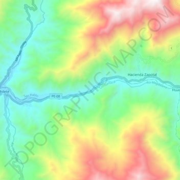
Name: Río Magdalena topographic map, elevation, terrain.
Location: Río Magdalena, Chilete, Contumazá, Cajamarca, Perú (-7.22592 -78.84153 -7.21536 -78.74582)
Average elevation: 1,499 m
Minimum elevation: 838 m
Maximum elevation: 2,653 m