
Río Orinoco topographic map
Interactive map
Click on the map to display elevation.
About this map
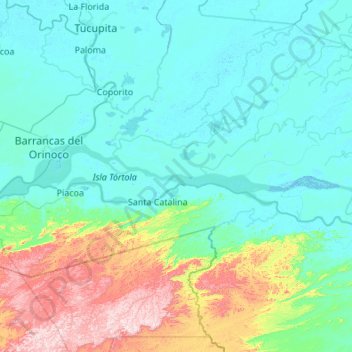
Name: Río Orinoco topographic map, elevation, terrain.
Location: Río Orinoco, Delta Amacuro, Venezuela (8.45125 -62.58486 8.77641 -61.50253)
Average elevation: 114 m
Minimum elevation: -5 m
Maximum elevation: 722 m