Geolocate

Chhahar topographic map

Click on the map to display elevation.

About this map
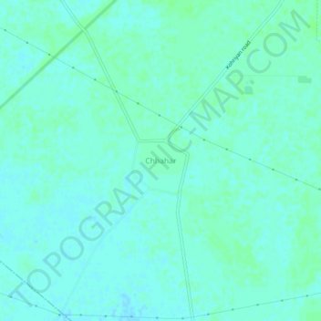
Name: Chhahar topographic map, elevation, terrain.

Location: Chhahar, Sunam Tahsil, Sangrur, Punjab, India (30.01118 75.88796 30.05118 75.92796)

Average elevation: 231 m

Minimum elevation: 228 m

Maximum elevation: 234 m

Gear up for your next adventure:

🛌Sleeping Bags - Sleeping bags for outdoor camping
⌚GPS Watches - GPS watches for outdoor sports
🧺Waterproof Dry Sacks - Organize your pack and keep electronics safe from rain and river crossings
🦟Heavy Duty Insect Repellent - Essential protection against flies, mozzies, and march flies
🧢Wide Brim Sun Hats - Maximum coverage for the face and neck while out in the open

As an Amazon Associate, this site earns from qualifying purchases at no extra cost to you.