
Harere topographic map
Interactive map
Click on the map to display elevation.
About this map
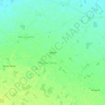
Name: Harere topographic map, elevation, terrain.
Location: Harere, Habar-Dooy, Baidoa District, Bay, South West, Somalia (3.00507 43.40419 3.04507 43.44419)
Average elevation: 484 m
Minimum elevation: 476 m
Maximum elevation: 491 m