
Osterdorf topographic map
Interactive map
Click on the map to display elevation.
About this map
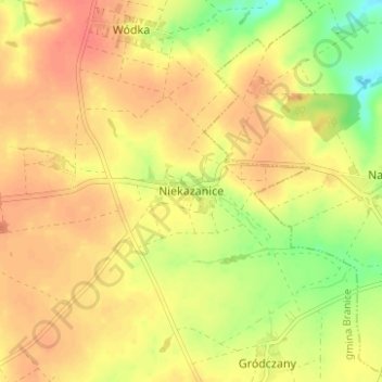
Name: Osterdorf topographic map, elevation, terrain.
Average elevation: 309 m
Minimum elevation: 277 m
Maximum elevation: 327 m
Other topographic maps
Click on a map to view its topography, its elevation and its terrain.
Leobschütz
Polen > Woiwodschaft Oppeln > powiat głubczycki
Leobschütz, gmina Głubczyce, powiat głubczycki, Woiwodschaft Oppeln, 48-100, Polen
Average elevation: 274 m