
Lee Flat topographic map
Interactive map
Click on the map to display elevation.
About this map
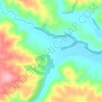
Name: Lee Flat topographic map, elevation, terrain.
Location: Lee Flat, Clutha District, Otago, New Zealand (-45.79048 170.01871 -45.77048 170.03871)
Average elevation: 388 m
Minimum elevation: 327 m
Maximum elevation: 492 m