Geolocate

Mascouche topographic map

Click on the map to display elevation.

About this map
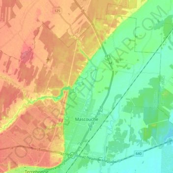
Name: Mascouche topographic map, elevation, terrain.

Location: Mascouche, Les Moulins, Lanaudière, Quebec, Canada (45.71633 -73.70105 45.82039 -73.52494)

Average elevation: 36 m

Minimum elevation: 8 m

Maximum elevation: 69 m

Other topographic maps

Click on a map to view its topography, its elevation and its terrain.

Lac Beauchemin

Canada > Quebec > Les Moulins > Terrebonne

Average elevation: 66 m

Gear up for your next adventure:

🔋Rechargeable Batteries - Eco-friendly power for high-drain GPS units and flashlights
🪫Rechargeable Headlamps - USB rechargeable headlamps
🔑Heavy Duty Carabiners - Secure gear to the outside of your pack for easy access
📖Australian Bush Survival Books - Local knowledge on finding water and surviving the outback
🧣Merino Neck Gaiters - Versatile headwear for warmth, sun protection, or dust filtering

As an Amazon Associate, this site earns from qualifying purchases at no extra cost to you.