
Ouled Gacem topographic map
Interactive map
Click on the map to display elevation.
About this map
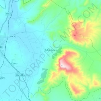
Name: Ouled Gacem topographic map, elevation, terrain.
Location: Ouled Gacem, Daïra Aïn Mlila, Oum El Bouaghi, Algérie (35.95973 6.60156 36.10535 6.78139)
Average elevation: 942 m
Minimum elevation: 755 m
Maximum elevation: 1,724 m