
Slat topographic map
Interactive map
Click on the map to display elevation.
About this map
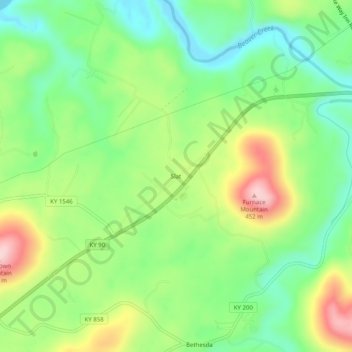
Name: Slat topographic map, elevation, terrain.
Location: Slat, Wayne County, Kentucky, Verenigde Staten van Amerika (36.79007 -84.92911 36.83007 -84.88911)
Average elevation: 298 m
Minimum elevation: 210 m
Maximum elevation: 440 m