
Newcastle topographic map
Interactive map
Click on the map to display elevation.
About this map
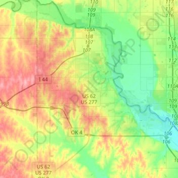
Name: Newcastle topographic map, elevation, terrain.
Location: Newcastle, McClain County, Oklahoma, United States (35.13514 -97.67142 35.33428 -97.48445)
Average elevation: 375 m
Minimum elevation: 333 m
Maximum elevation: 432 m