
Graytown topographic map
Interactive map
Click on the map to display elevation.
About this map
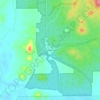
Name: Graytown topographic map, elevation, terrain.
Location: Graytown, Shire of Strathbogie, Victoria, Australia (-36.83693 144.92897 -36.79693 144.96897)
Average elevation: 167 m
Minimum elevation: 140 m
Maximum elevation: 253 m
Victoria trails, hiking, mountain biking, running and outdoor activities