
Macksville topographic map
Interactive map
Click on the map to display elevation.
About this map
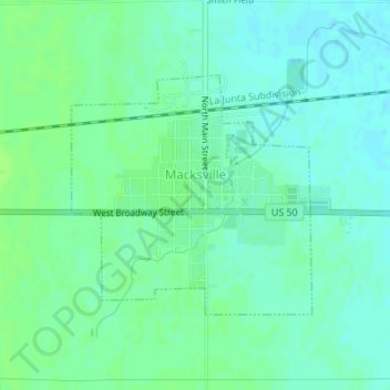
Name: Macksville topographic map, elevation, terrain.
Location: Macksville, Stafford County, Kansas, United States (37.94948 -98.97960 37.96607 -98.95846)
Average elevation: 619 m
Minimum elevation: 614 m
Maximum elevation: 623 m
Other topographic maps
Click on a map to view its topography, its elevation and its terrain.
St. John
United States > Kansas > Stafford County
St. John, Stafford County, Kansas, 67576, United States
Average elevation: 581 m