Geolocate

Kinn topographic map

Click on the map to display elevation.

About this map

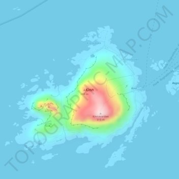
Name: Kinn topographic map, elevation, terrain.

Location: Kinn, Rognaldsvåg, Kinn, Vestland, 6912, Norway (61.55167 4.73271 61.57102 4.77548)

Average elevation: 23 m

Minimum elevation: 0 m

Maximum elevation: 311 m

Gear up for your next adventure:

🔪Camping Knives - Multi-purpose outdoor knives
🌿Flora and Fauna Field Guides - Identify the plants and animals you encounter on your route
📚Map Reading & Navigation Guides - Master the art of interpreting topographic contours and symbols
🐍Australian Snake Bite Kits - Specific pressure immobilization bandages for Australian venomous snakes
🎒3L Hydration Reservoirs - Hands-free drinking to stay hydrated on steep contour climbs

As an Amazon Associate, this site earns from qualifying purchases at no extra cost to you.