
Zone industrielle du Maupas topographic map
Interactive map
Click on the map to display elevation.
About this map
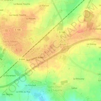
Name: Zone industrielle du Maupas topographic map, elevation, terrain.
Average elevation: 104 m
Minimum elevation: 77 m
Maximum elevation: 119 m
Other topographic maps
Click on a map to view its topography, its elevation and its terrain.
La Croix du Val
France > Bretagne > Ille-et-Vilaine > Saint-Méen-le-Grand
La Croix du Val, Saint-Méen-le-Grand, Rennes, Ille-et-Vilaine, Bretagne, France métropolitaine, 35290, France
Average elevation: 105 m