
Xianning topographic map
Interactive map
Click on the map to display elevation.
About this map
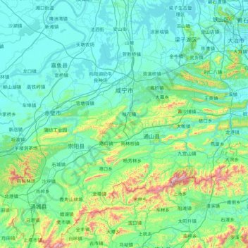
Name: Xianning topographic map, elevation, terrain.
Location: Xianning, Hubei, China (29.03293 113.53250 30.30032 114.96346)
Average elevation: 184 m
Minimum elevation: 11 m
Maximum elevation: 1,553 m
Other topographic maps
Click on a map to view its topography, its elevation and its terrain.