
Xã Mê Linh topographic map
Interactive map
Click on the map to display elevation.
About this map
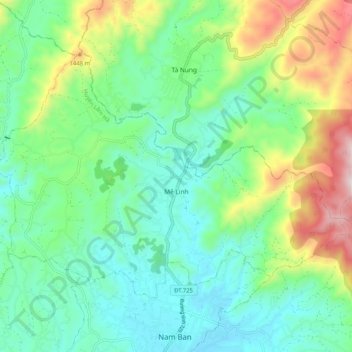
Name: Xã Mê Linh topographic map, elevation, terrain.
Location: Xã Mê Linh, Lâm Hà District, Lâm Đồng Province, Vietnam (11.85592 108.29082 11.92566 108.39316)
Average elevation: 1,157 m
Minimum elevation: 942 m
Maximum elevation: 1,691 m