
Montpelier topographic map
Interactive map
Click on the map to display elevation.
About this map
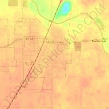
Name: Montpelier topographic map, elevation, terrain.
Location: Montpelier, Blackford County, Indiana, 47359, United States (40.54179 -85.30197 40.55986 -85.27186)
Average elevation: 266 m
Minimum elevation: 232 m
Maximum elevation: 272 m