
Carangas topographic map
Interactive map
Click on the map to display elevation.
About this map
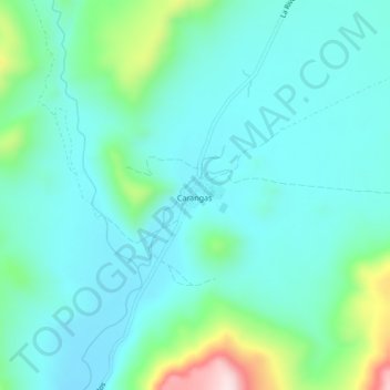
Name: Carangas topographic map, elevation, terrain.
Location: Carangas, Provincia Mejillones, Oruro, Bolivien (-18.96026 -68.64506 -18.92026 -68.60506)
Average elevation: 3,930 m
Minimum elevation: 3,851 m
Maximum elevation: 4,250 m
Other topographic maps
Click on a map to view its topography, its elevation and its terrain.