
Azro topographic map
Interactive map
Click on the map to display elevation.
About this map
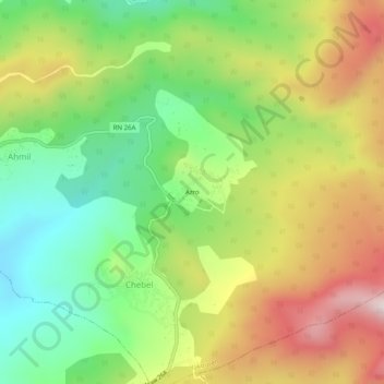
Name: Azro topographic map, elevation, terrain.
Location: Azro, Chebel, Yakouren, Daïra Azazga, Tizi Ouzou, Algérie (36.68814 4.44526 36.72814 4.48526)
Average elevation: 880 m
Minimum elevation: 610 m
Maximum elevation: 1,230 m