Geolocate

Litcham topographic map

Interactive map

Click on the map to display elevation.

About this map

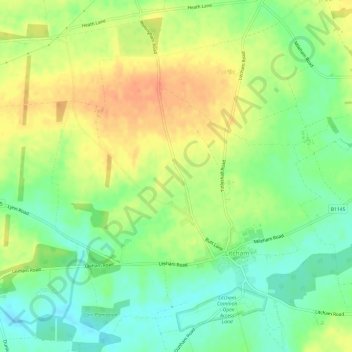
Name: Litcham topographic map, elevation, terrain.

Location: Litcham, Breckland District, Norfolk, England, United Kingdom (52.71562 0.74982 52.74859 0.81011)

Average elevation: 63 m

Minimum elevation: 42 m

Maximum elevation: 85 m

Other topographic maps

Click on a map to view its topography, its elevation and its terrain.

Moat

United Kingdom > England > Norfolk > Breckland District > Old Buckenham

Moat, Old Buckenham, Breckland District, Norfolk, England, United Kingdom

Average elevation: 51 m

Breckland District

United Kingdom > England > Norfolk > Breckland District

Breckland District, Norfolk, East of England, England, United Kingdom

Average elevation: 37 m

Thetford

United Kingdom > England > Norfolk > Breckland District

Thetford, Breckland District, Norfolk, England, United Kingdom

Average elevation: 32 m

Mattishall

United Kingdom > England > Norfolk > Breckland District

Mattishall, South Green, Breckland District, Norfolk, England, United Kingdom

Average elevation: 48 m