
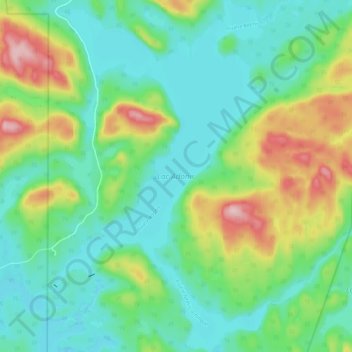
Lac Adonis topographic map
Interactive map
Click on the map to display elevation.
About this map
Name: Lac Adonis topographic map, elevation, terrain.
Average elevation: 455 m
Minimum elevation: 391 m
Maximum elevation: 609 m
Other topographic maps
Click on a map to view its topography, its elevation and its terrain.
Rivière Choquette
Canada > Québec > Antoine-Labelle > Lac-Bazinet
Rivière Choquette, Lac-Bazinet, Antoine-Labelle, Laurentides, Québec, Canada
Average elevation: 418 m
Lac Saratoga
Canada > Québec > Antoine-Labelle > Lac-Bazinet
Lac Saratoga, Lac-Bazinet, Antoine-Labelle, Laurentides, Québec, Canada
Average elevation: 421 m
Lac Mathilde
Canada > Québec > Antoine-Labelle > Lac-Bazinet
Lac Mathilde, Lac-Bazinet, Antoine-Labelle, Laurentides, Québec, Canada
Average elevation: 513 m