
Towns County topographic map
Interactive map
Click on the map to display elevation.
About this map
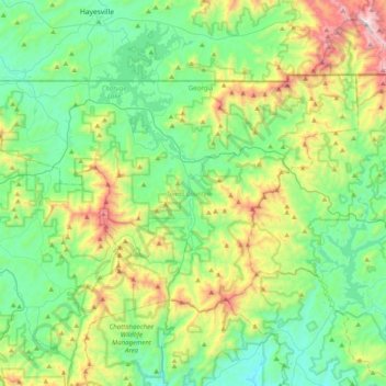
Name: Towns County topographic map, elevation, terrain.
Location: Towns County, Georgia, VS (34.79058 -83.94634 34.99238 -83.54668)
Average elevation: 764 m
Minimum elevation: 433 m
Maximum elevation: 1,657 m
Other topographic maps
Click on a map to view its topography, its elevation and its terrain.