
Dromana topographic map
Interactive map
Click on the map to display elevation.
About this map
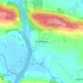
Name: Dromana topographic map, elevation, terrain.
Location: Dromana, Villierstown, County Waterford, Munster, Ireland (52.06885 -7.87160 52.10885 -7.83160)
Average elevation: 36 m
Minimum elevation: -16 m
Maximum elevation: 148 m