
Figtree topographic map
Interactive map
Click on the map to display elevation.
About this map
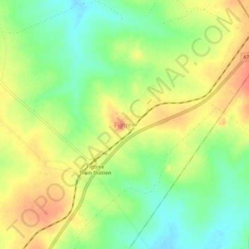
Name: Figtree topographic map, elevation, terrain.
Location: Figtree, Bulilimamangwe, Matabeleland South, Zimbabwe (-20.38776 28.30878 -20.34776 28.34878)
Average elevation: 1,369 m
Minimum elevation: 1,343 m
Maximum elevation: 1,395 m